Data sources overview
MapSVG can load markers and directory rows from several sources. You configure sources under Database › Data sources in the map editor — add a source, Connect it to the map, then click Save.
| Source | Best for |
|---|---|
| MapSVG Database | Custom locations, events, store list — objects you create in MapSVG |
| WP Post data source | Existing WordPress posts as markers |
| API endpoint | External REST APIs |
| CSV file | One-off or repeated file uploads |
| Google Sheets | Spreadsheet as a live, auto-syncing source |
Regions (clickable SVG shapes) are separate: they come from the SVG file, not from these Database sources. See SVG maps.
For editor details on each tab, see Data sources in the map editor.
Sharing data between maps
One Database table can be connected to several maps so you do not duplicate markers and fields.
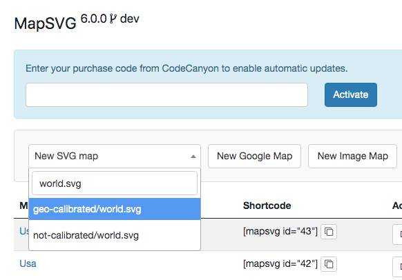
Create a map and add data to its Database (for example, a world map using geo-calibrated/world.svg):
Add a location:
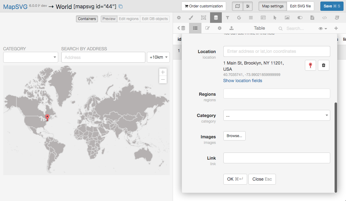
Note the map ID in the top toolbar — you need it to find this map's data table:

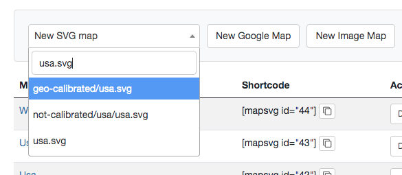
Create a second map (for example USA using geo-calibrated/usa.svg):
On the second map, open Database › Data sources. Find the table named objects_xxx where xxx is the first map's ID, and click Connect:
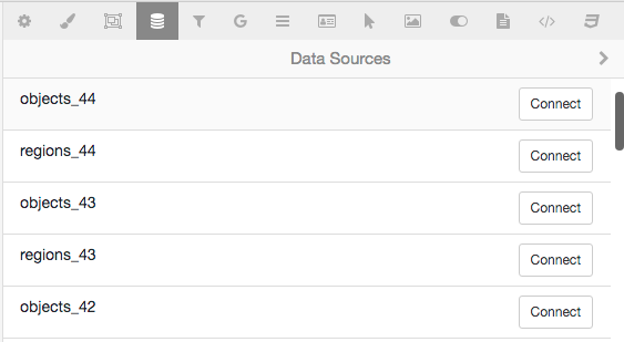
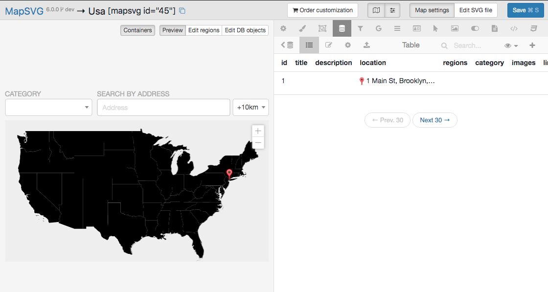
Click Save to store the connection. Both maps now use the same table — markers added on either map appear on both: