#1 Real Estate Maps Plugin For WordPress
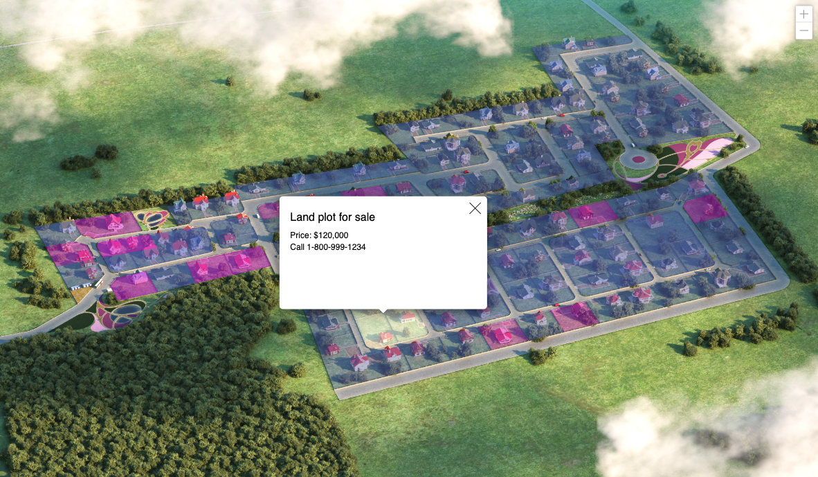
MapSVG is one of the most flexible WordPress map plugins for real estate websites. Display land plots, property boundaries, and parcel information on interactive maps. Allow potential buyers to explore available properties, filter by size, price, or location, and get detailed property information including boundaries, dimensions, and zoning details on click.
Why real estate agencies choose MapSVG
One plugin for any use case
Create land plots maps, building maps, floorplans. Use custom interactive images, or Google Maps, or both at the same time.
Draw land plots
MapSVG has built-in editing tools for drawing land plots on aerial photo or live Google Maps.
Show status of sold properties
Set status and color of sold properties manually or automatically by connecting map regions to ACF field value.
Display land plots on a map in WordPress
Add an overlay on Google Map
And also:
- Support chat with 24/7 AI assistant embedded in the plugin
- Weekly updates with new features and improvements
- Yearly or lifetime subscriptions
- 15-days money-back guarantee