#1 WordPress Map Plugin for Government and Public Sector
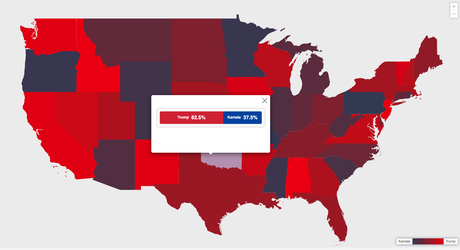
MapSVG is the ideal WordPress map plugin for government agencies and public sector organizations. Create interactive voting maps showing electoral districts and election results, display public service locations, show district boundaries, and visualize demographic data.
Why government agencies and public sector organizations choose MapSVG
Flexibility
MapSVG is the most flexible, full-featured mapping plugin on the market. Whatever you need, you can achieve with MapSVG.
Advanced address search
Allow your users to find stores and delivery zones by address, zip code and show nearest locations in the give radius. Sort results by distance, and show distance in miles or kilometers to the user.
Map styles match your branding
Fine-tune map styles to match the branding of your website. Styling is available for both SVG and Google Maps.
And also:
- Support chat with 24/7 AI assistant embedded in the plugin
- Weekly updates with new features and improvements
- Yearly or lifetime subscriptions
- 15-days money-back guarantee
"It's more than just maps!"