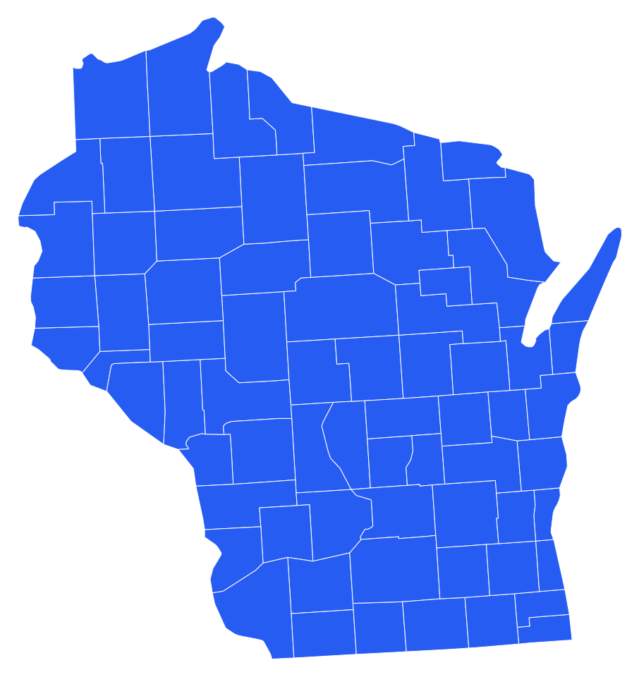
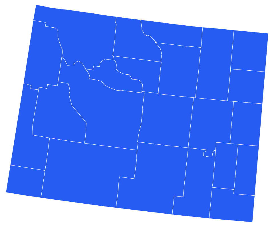
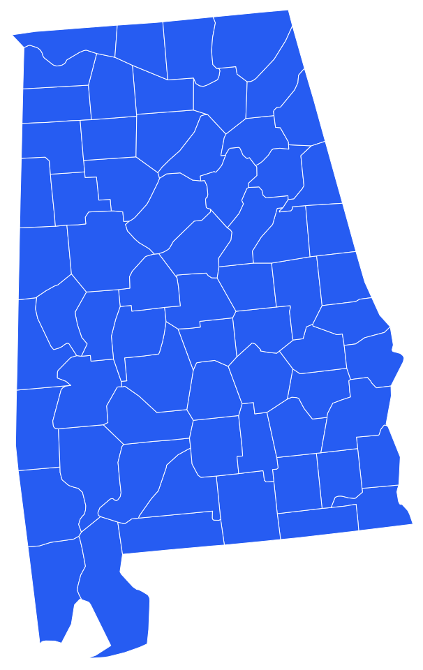
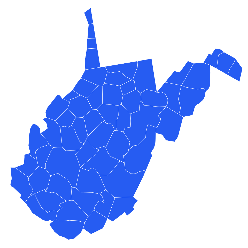
County boundaries West Virginia
West Virginia
SVG map.
A free, editable vector map with county boundaries. Ready for your website, presentation or next design project.
- Format
- SVG
- File size
- 28 KB
- Vector shapes
- 55
Personal and commercial use. No attribution required.
CC0 license
A few useful answers.
Can I use this map commercially?
Yes. This SVG map is available under the CC0 public domain dedication. Personal and commercial use is allowed, and attribution is not required.
How can I edit the map?
Open the SVG in a vector editor such as Inkscape or Adobe Illustrator to change its colors and shapes. The original vector file can scale for both screens and print.
Do I need MapSVG to use the download?
No. The SVG is a standalone file. Use it as an image in any project, or add it to MapSVG if you want an interactive map on your WordPress website.